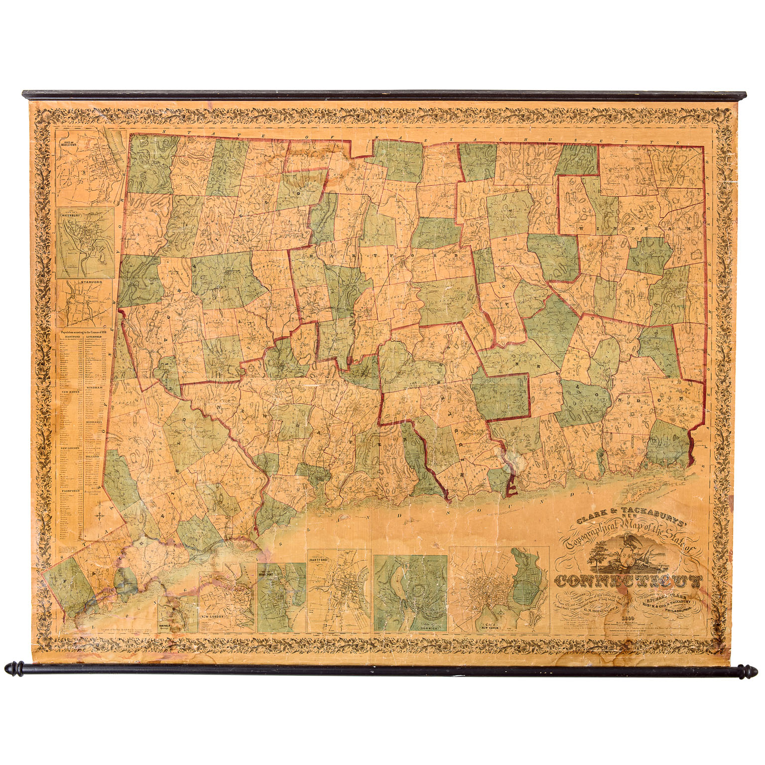
In its day, this was the most detailed map of Connecticut ever made. This map was printed in 1860 and colored by hand. The map’s large scale depicts enormous detail, including roads, railroads, sawmills, churches, schools, and post offices. It also marks thousands of individual dwellings and public buildings. It is currently able to be mounted on a wall with a wood frame at top and bottom. There is some discoloration and minor staining along the bottom, however considering the age, it is in remarkable shape. A fantastic statement for any wall or home with a beautiful color palette.
ref. td-03
ref. td-03
$2,450
70” wide
58” high